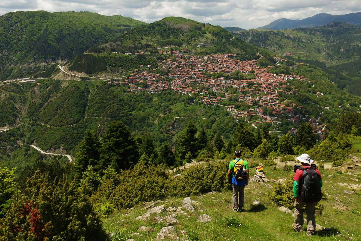
The second part of the Ursa Trail hiking route starts at the Anilio Ski Center chalet and takes a downhill dirt road to the base 3 the lifts. There we take a path that meets the dirt road again and follows it to the south. We pass higher than a trough called Tourkou Vrisi and reach the valleys of Dokimi, with unobstructed views to the east and south.
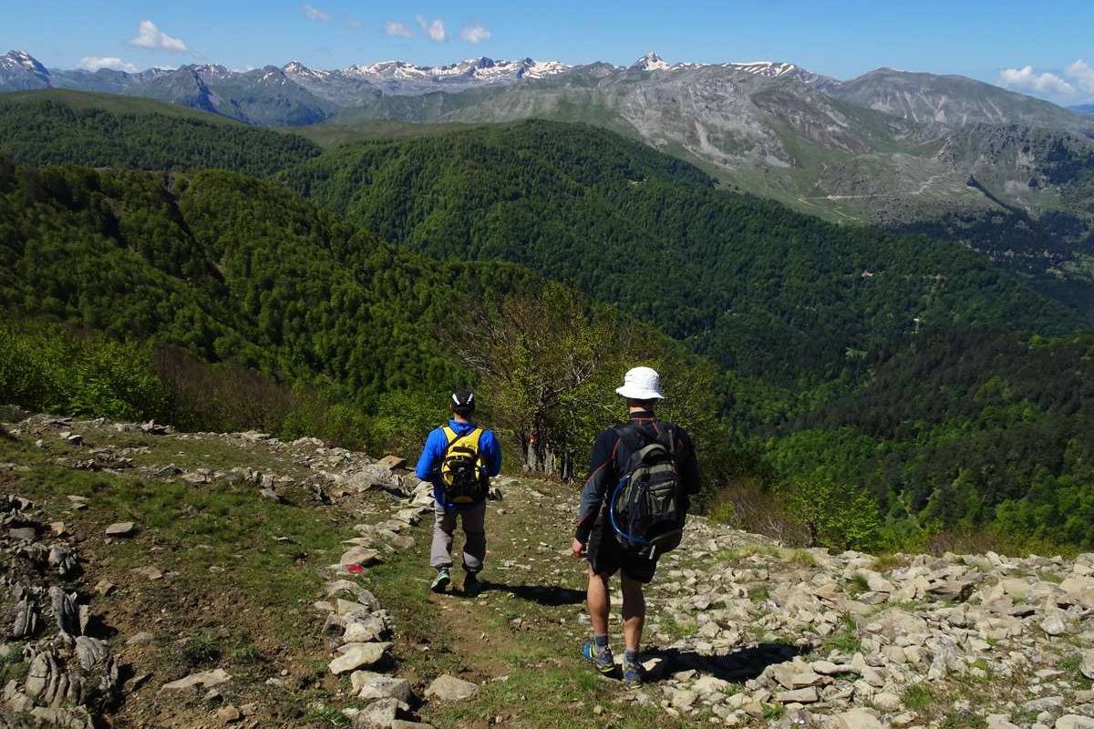
At the junction we go right on an uphill road that we leave just before the summit of Dokimi (1871 m.), that we reach from the south ridge. From the top we see all the peaks and valleys of Central and Northern Pindos, from Smolikas to Tzoumerka.
MoreFrom the top, the route takes a very steep path for about 500 m. in beech woodland and continues more smoothly in meadows and on a ridge with beautiful views. We then head northwest and reach a large meadow and source (position La Livatze). From there, we continue on a wide path that soon becomes a dirt track. We then leave two dirt tracks to the left and continue until a crossraod on Largi col. Here the hiking trail goes right, following the road (the marking of the racing route leads left). We arrive soon on a faint saddle (position Xanthi), where we leave the main dirt road and enter left into a wide track that leads us to the fire lookout station of Fatzeto summit (1634 m).
From Fatzeto we continue downhill in beech forest towards Anilio on a steep path until the position Skamni. There we head southwest and the path becomes less steep. We pass under a small drainage basin with a trough, then enter a wider path and reach a large fountain located a few meters above the dirt road. We follow the dirt road (below us is a tunnel of Egnatia Odos) and continue until the asphalt road. We follow it a few meters to the right before descending into the village on a cement road. We cross Anilio on small streets until we get to the big parish church of Aghia Paraskevi on the edge of the village, ideal for a stop in the shade.
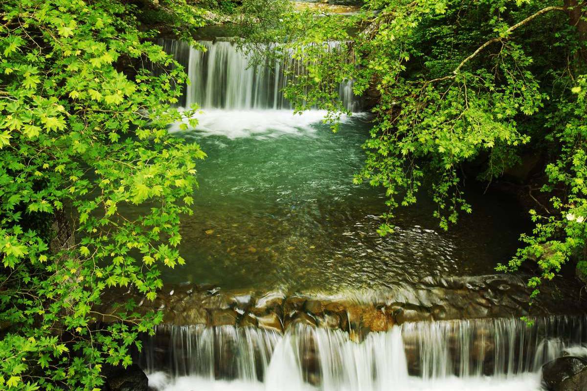
From the churchyard the route continues into a dirt path that leads to the asphalt path. We cross a large bridge on the Metsovitiko River, in front of an artificial waterfall. We follow the asphalt road for a while and get to the entrance of vines below the monastery of Aghios Nikolaos. We climb the nice cobbled path, we pass the entrance of the monastery and continue until the cement road, leaving a narrow road and a cemetery on our right. On the cement road we go left until we meet the main asphalt road, which we follow until the main square of Metsovo.


